


AKTUÁLIS HÍREINK
Esküt tettek a HUNOR újoncai 2026. június 10.
Ünnepélyes fogadalmat tett június 10-én az a huszonkilenc újonc, akik június 7-10 között részt vettek a HUNOR Mentőszervezet rendszerbeállító gyakorlatán, Hajdúszoboszlón, a Katasztrófavédelmi Kiképző- és Raktárbázison. Az újoncok mellett fogadalmat tett az a huszonhét tag is, akik 2025 őszén teljesítették az erőpróbát.
Gyakorlaton a HUNOR újoncai 2026. június 09.
Háromnapos rendszerbeállító gyakorlaton vesz részt a HUNOR Mentőszervezet újonnan belépő állománya június 7-10. között Hajdúszoboszlón, a Katasztrófavédelmi Kiképző- és Raktárbázison. A kiképzés célja az, hogy a HUNOR Mentőszervezetbe újonnan jelentkezett hivatásos tűzoltók INSARAG III. nemzetközi szintű vezetési törzs- és terepgyakorlaton vegyenek részt.
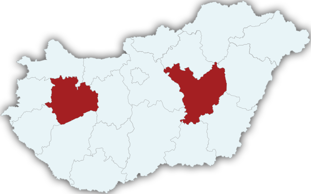
Támogatásban részesülnek az önkéntes tűzoltó egyesületek 2026. június 09.
2026-ban 690 millió forint támogatást oszthat szét a katasztrófavédelem a Magyarországon működő önkéntes tűzoltó egyesületek között. A támogatás összege kétféle módon kerül a tűzoltó egyesületekhez: 138 millió forint állami támogatáshoz juthatnak az önállóan beavatkozó egyesületek, 552 millió forint keretösszegre pedig a hivatásos tűzoltóságokkal együttműködő egyesületek pályázhattak.
Folytatódik a biológiai szúnyoggyérítés 2026. június 08.
Az elmúlt hét változékony, néhol csapadékos, máshol száraz, szeles időjárása határozza meg a csípőszúnyogok megjelenését. A szúnyoglárvák akár egy pohárnyi vízben is képesek nagy számban kifejlődni, így esőzés és locsolás után a lakókörnyezetünkben is ideális tenyészőhelyek jöhetnek létre. A kifejlett szúnyogok kirepülése megkezdődött a ház körüli vizekből és a csapadékkal érintett területekről is. Jelentős szúnyogártalom egyelőre nem alakult ki, a kifejlett szúnyogok elleni központi védekezésre eddig nem volt szükség.
Pedagógusnapi köszöntő 2026. június 07.
 Aktuális esemény jelölése a térképen
Tisza-tó
MÁSODFOK

Fertő-tó
ELSŐFOK

Velencei-tó
ELSŐFOK

Balaton
Nincs viharjelzés

GYORSLINKEK